Aultmore Wind Farm Redesign
In March 2024 Vattenfall submitted a Section 36 application for consent to the Scottish Government for its redesigned Aultmore Wind Farm scheme in Moray, Scotland.
Click here for planning documents.
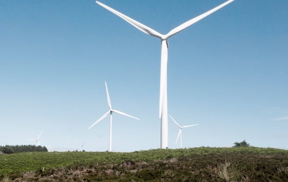
The 105.6MW project is located approximately 6km north of Keith and 7km south of Buckie. A site location map can be found here.
The project could generate enough fossil free electricity for around 127,000 homes each year as well as around £18.4 million in community benefit over its 35-year life cycle in addition to over £1.3 million in business rates per year to Moray Council.
It is also predicted to offset more than 177,000 tonnes of carbon emissions every year, making an important contribution to Scotland’s legally binding net zero targets and helping towards tackling climate change.
The planning documentation, including the Environmental Impact Assessment Report, can be viewed at the bottom of this page as well as on the Scottish Government’s Energy Consents Unit website here. A copy of the statutory advert confirming submission of the applicaiton can be found here
STEM activities in Moray
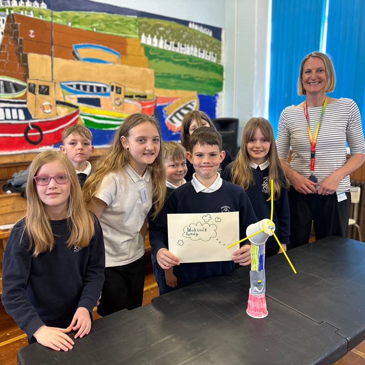
Over 40 pupils from Findochty Primary School have taken part in an innovative workshop delivered by renewables company, Vattenfall, to help develop STEM skills.


Project background
Aultmore Wind Farm was consented by Moray Council in 2014 as a 13-turbine 29MW scheme. Since then, significant advances in turbine technology have taken place with more powerful turbines becoming available. By redesigning the site, the proposed 16-turbine 105.6MW scheme could generate enough fossil free electricity annually for around 127,000 homes, almost four times that of the original scheme’s 22,000 homes.

Engagement and consultation
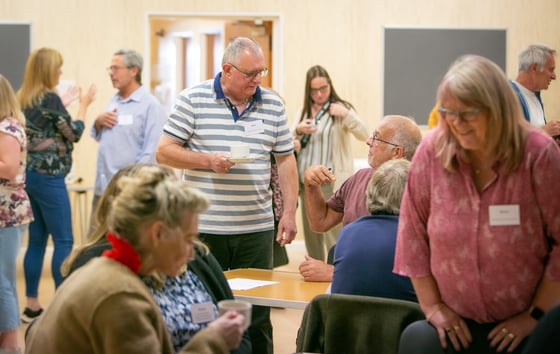
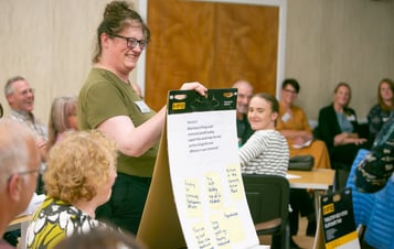
Since the project was first announced in November 2021, we have written to key stakeholders, produced newsletters for local residents, engaged with the local community and met with local Community Councils and key anchor groups. Our project team held public exhibitions in March 2022 to present the early design and gather feedback from the community – followed by a final set of public exhibitions in August 2023. We would like to thank everyone for taking the time to engage with us on the project.
Key design considerations
Private water supplies
We are aware that private water supply (PWS) is an area of particular concern to local residents – and we take the protection of people’s supplies seriously. We have gathered detailed information on PWS from Moray Council, Scottish Environment Protection Agency (SEPA), site walkover studies and engagement with residents – and made changes to the design in order to avoid any impacts during construction.
Should the project receive consent, water quality monitoring is proposed during construction at all properties which have a PWS source linked to the proposed development. We will also liaise with the water authorities and regulators throughout the construction and operational phases of the project and the water monitoring protocol will be agreed between Vattenfall, Moray Council and SEPA.
Landscape and visual
Whilst the visual impact of a wind farm may appear to be subjective, there are clear planning guidelines and principles that need to be applied when designing a wind farm proposal.
Specialist landscape architects have critically assessed the design to ensure that the best layout possible is achieved from a visual perspective. A Residential Visual Amenity Assessment (RVAA) has also been undertaken for properties within 2km of the turbine locations to assess and mitigate any potential impact.
Traffic and Transport
The original proposed site access point, for the main construction traffic and turbine deliveries from the B9016, was via the Mains of Oxhill. This was also the access for the previous 13-turbine 29MW Aultmore Wind Farm (consented by Moray Council in 2014).
As the redesigned scheme developed, the access point changed in response to both technical considerations and community feedback. The new proposed access point from the B9016 is now located approximately 100m north of the Croft of Ryeriggs and the new bellmouth junction has been designed to comply with road safety regulations.
Turbine deliveries would also be undertaken in consultation with the relevant authorities, including Moray Council, Transport Scotland and Police Scotland. Deliveries would be scheduled where possible to avoid peak times of the day including school opening/closing times, peak summer tourist season, and Broadley Crematorium’s core hours.
Peat and biodiversity
Vattenfall is a leading developer when it comes to ‘forest to bog’ restoration. This term means restoring peatland which was previously under commercial conifer plantation to open peatland habitat once again. For more information, please click here.
Aultmore is not a particularly peaty site and the peat that does exist is mostly degraded due to the 60-years or so of commercial forestry operations. Nevertheless, extensive peat-probing has been undertaken on the site to avoid and/or minimise impacts on peat wherever possible through our design and there are a couple of areas of deep peat on site which offer significant potential for ‘forest to bog’ restoration and habitat improvement.
As part of our Biodiversity Enhancement and Restoration Plan we are proposing to restore such areas of degraded deep peat and return them back to bog. This restoration work will not only help protect the peat itself and enhance the habitat for wildlife, but will also result in a net positive impact and likely net gain in biodiversity.
Ecology and Ornithology
Detailed EIA surveys have been undertaken to explore the ecology, ornithology, flora, fauna and overall biodiversity to ensure that we have a thorough understanding of the site and surrounding area.
The findings from this survey work, in addition to engagement with key consultees such as RSPB and NatureScot, have helped inform the design – and turbine infrastructure has been relocated to avoid impacts on key species or habitats.
Noise
The proposed development has been carefully designed and the turbines located sufficiently far from residential properties that predicted noise levels will fall within noise regulations. Should consent be granted we would expect the authorities to impose noise-related conditions on the wind farm during its operational life.
Shadow flicker
The impact of shadow flicker can be easily avoided and designed out using sophisticated modelling software to control turbine operation. Shadow flicker control modules, consisting of light sensors and specialised software, will be installed on the turbines to prevent operation during periods when shadow flicker could be experienced at nearby properties.
The correct operation of the installed shadow flicker control measures will ensure that there will be no impact from shadow flicker.
Aviation lighting
We have agreed a reduced lighting scheme with the Civil Aviation Authority which will consist of steady red lights on nine of the sixteen turbines and infra-red lighting on fifteen of the sixteen turbines.
By its nature, aviation lighting is designed to be seen by aircraft passing at height and therefore is directed upwards and much less visible to those close by and at ground level.
Positive benefits from the project
Planning submission documents
| Planning Statement | Pre Application Consultation (PAC) Report |
Volume 1
| Volume 1 - Non Technical Summary (NTS) |
Volume 2
Volume 3a. Figures
Volume 3b. Visualisations
Volume 3b. LVIA Visualisations
Volume 4 Technical Appendices
What’s next?
The Scottish Government will be the determining authority for the redesigned scheme, rather than Moray Council, due to the installed capacity being over 50MW. However, Moray Council will play an important role as the local authority and key consultee.
A statutory consultation period will be advertised and held by the Scottish Government’s Energy Consents Unit (ECU) to gather feedback on the proposal from key consultees as well as the general public. The ECU will then assess this feedback as part of the application for consent before making a final planning determination in due course.
click here to learn more about Vattenfall
Vattenfall is one of Europe’s leading energy suppliers with 20,000 employees. Owned by the Swedish state, for over a century we have worked to electrify society.
Over the last decade we’ve had an extensive presence in the UK, growing our wind business from one project in 2008 to 11 today and investing more than £3.5 billion in enough wind to power 850,000 homes.
Today, Vattenfall is driven by the ambition to enable fossil free living that drives society foreward. We believe that fossil freedom will benefit society, local communities and biodiversity as well as tackling climate change. We are not just phasing out fossil-emissions from our own operations, we are working in close partnerships with our customers to help them do the same. We have more than 100 years of experience of innovation, and a large and growing portfolio of sustainable and fossil-free electricity.
We also have clear values and a strong ethos that places emphasis on working closely with local communities to make sure that we are developing projects which can bring a lasting sustainable benefit to the community and future generations.
click here to learn more about onshore wind in the UK
The UK (and Scotland specifically) has some of the best wind resource in Europe, with around 14GW of onshore wind installed now in the UK. Onshore wind is one of the cornerstones of the UK electricity mix. It is estimated that by 2030, 30GW of onshore wind will be required to meet our climate targets at the lowest cost to the consumer.
Onshore wind is one of the most established renewable technologies and plays an important role in meeting net zero targets because it:
- increases energy security by reducing reliance on imports
- is quicker to build than, for example, offshore wind
- has a short carbon payback time (usually 1-3 years)
- is one of the cheapest forms of electricity generation.
Advancements in turbine technology as well as energy storage solutions mean that sites can now generate significantly greater outputs and offset much greater levels of carbon emissions. As such, optimising sites like Aultmore could play an important role in the transition to a greener, low-carbon economy.
Onshore wind also brings benefits to host communities and the broader economy. The community investment package for the redesigned Aultmore Wind Farm is in line with prevailing Scottish Government guidance and will enable local communities to invest in the priorities which matter to them.
We have clear values and a strong ethos that places emphasis on working closley with local communities to make sure that we are developing projects which can bring lasting, sustainable benefit to the community and future generations.
Get in touch
If you have any questions about the Aultmore Wind Farm Redesign or would like further information, you can get in touch directly with our project team by emailing:
aultmore.windfarm@vattenfall.com
or write to us at:
Aultmore Redesign Project Team
Vattenfall Wind Power Ltd.
St Andrews House
Haugh Lane
Hexham
NE46 3QQ


